
The Art of the Digital Twin
Next generation multi-sensor aerial surveys offer Network Operators unrivalled insight into the near real time condition of their Networks.
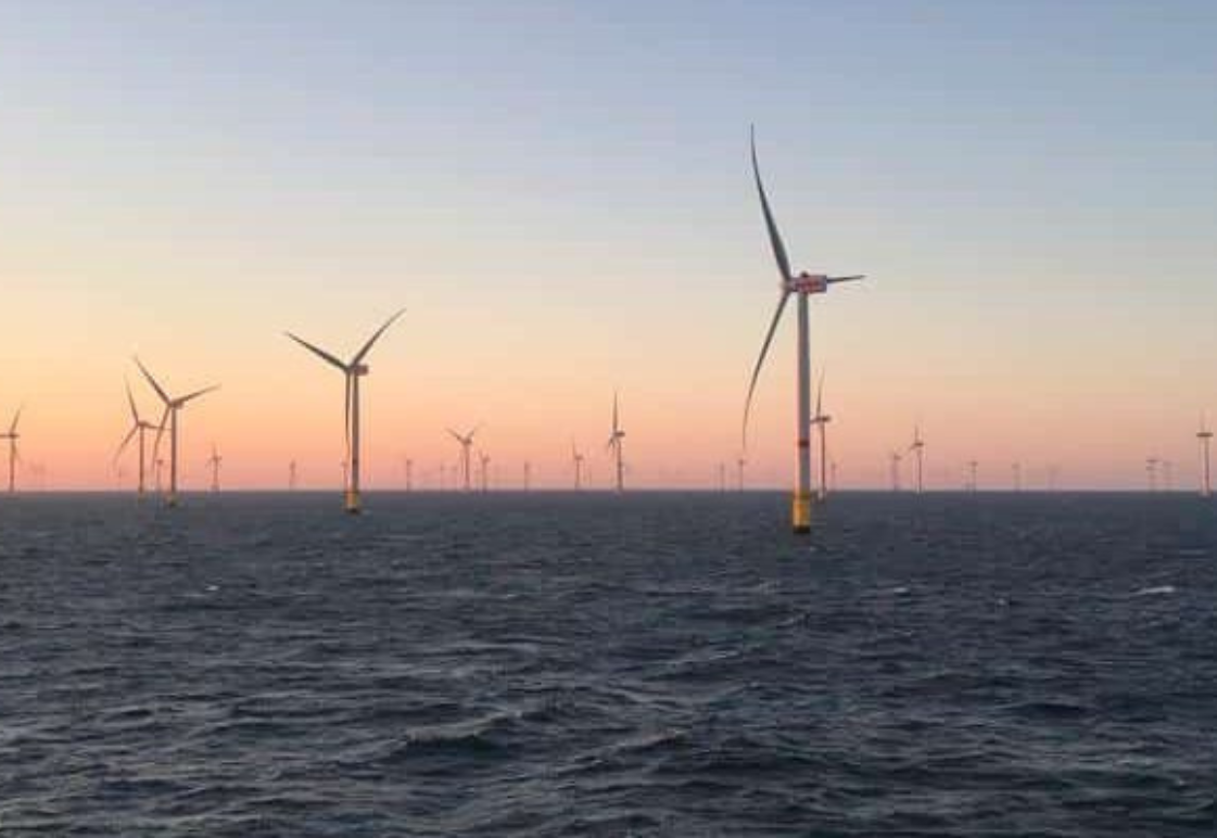
Critical Infrastructure Management
Aerial imagery has always been an ideal tool for asset management. Recent advances in LiDAR and point cloud analysis bring us into a new era of survey deliverables and management tools to suit every scenario

GeoDrone to GeoTwin
Providing Network Operators with state of the art solutions from field to Finish. We can deliver a Network management tool that will transform your approach to consolidated Asset Management