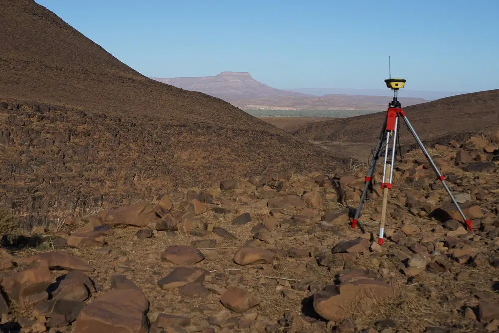
Data Acquisition
Deploying high-resolution sensors worldwide for aerial & terrestrial survey and inspection applications.
Find out more...
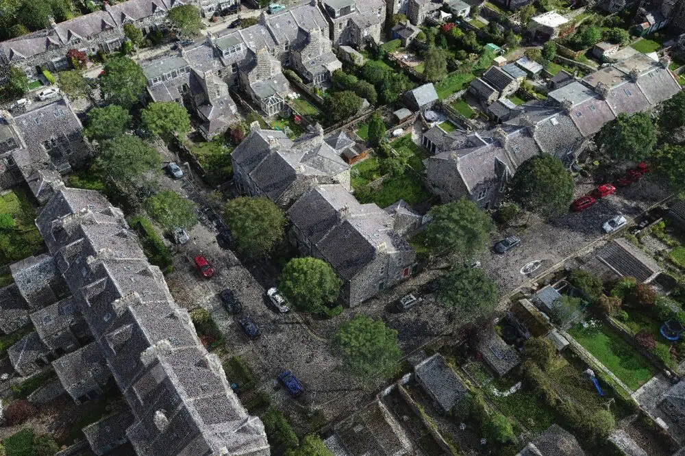
Data Processing
Refined and reliable custom workflows deliver your 2D, 3D data requirements with precision.
Find out more...
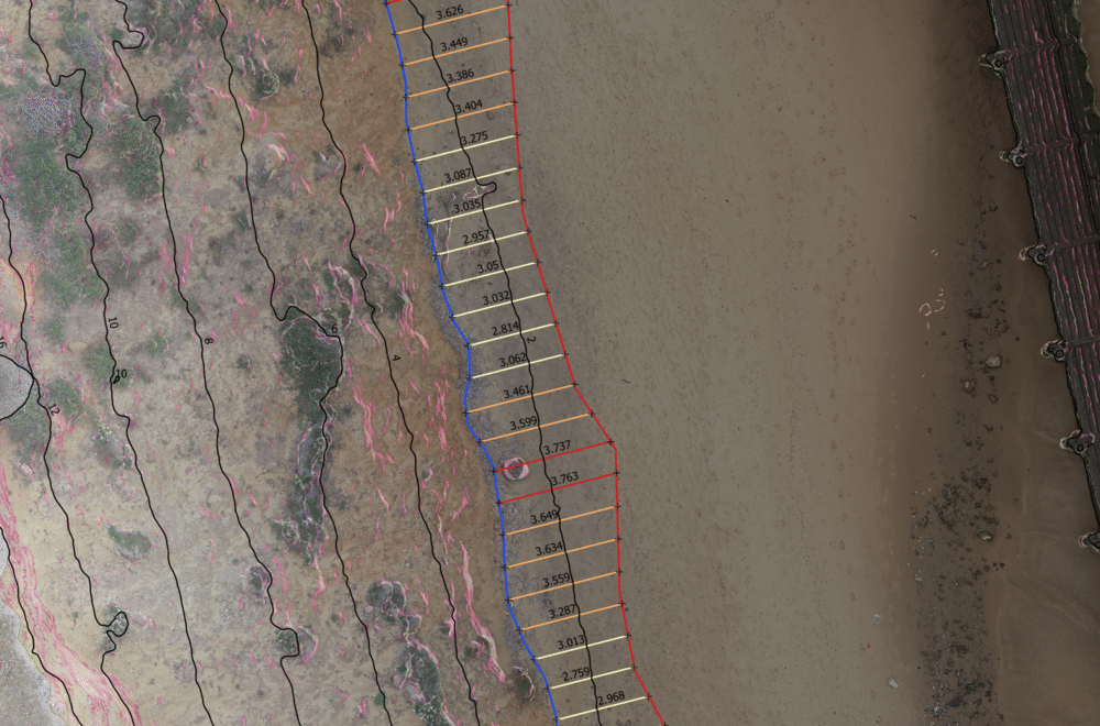
Data Analysis
GIS analysis services available in-house. Data integration with your current/legacy data systems.
Find out more...

Data Deliverables
Next-generation network management tools and consolidated infrastructure/asset management.
Find out more...