Data Acquisition

Consultancy
GeoDrone provides consultancy services for a variety of applications including entire project management to ground control and airborne flight planning.
With extensive in-house experience designing flight plans for surveys undertaken internationally, we are confident we will be able to advise our clients towards the best data acquisition methods in the air and on the ground.

Airborne
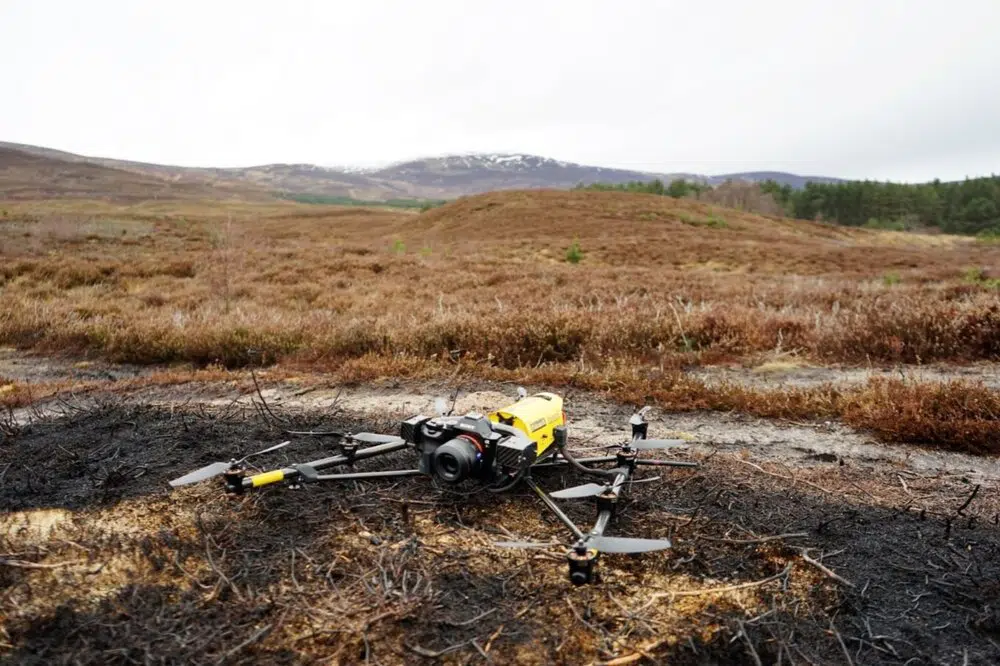
GeoDrone is able to deploy a number of high quality sensors suitable for various applications throughout the Uk and abroad.
Whether the deliverable is required for inspection or engineering applications, we will ensure that the sensor deployed is fit for purpose.

Terrestrial
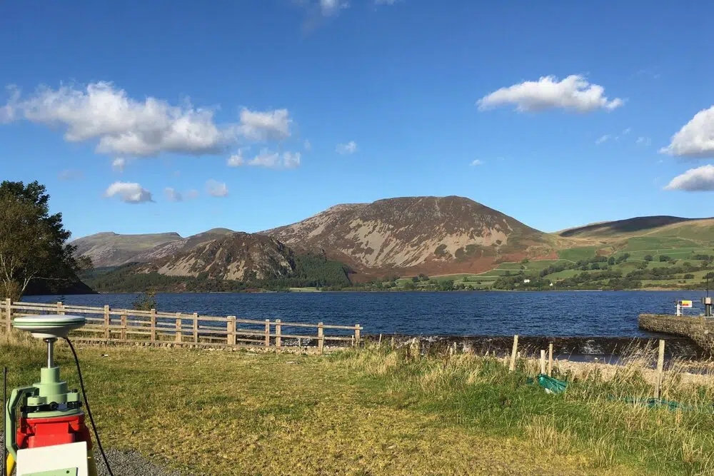
We are able provide comprehensive ground control services as well as topographical GNSS data collection services. Using RTK, PPK and total stations we are confident of meeting end user requirements.
In addition to our ground control and GNSS data collection services, our UA5 qualified surveyors are able to provide consultancy services for line vegetation management.


